
Join us for a one-day symposium exploring how visual representation shapes the way we understand and design landscapes. From traditional drawing and print to digital modelling, virtual worlds and generative AI, visual tools are transforming how we interpret spatial, cultural, and environmental change.
This event brings together scholars, practitioners, and researchers to explore how emerging technologies and evolving cultural perspectives are reshaping landscape practice, decision-making, and public engagement.
Day 1 – Symposium (Lincoln University)
Featuring keynote presentations, Q&A sessions and interactive workshops, including:
• AI-assisted concept development
• Digital and print workflows
• Bicultural perspectives in representation
• Virtual worlds for monitoring and evaluation
• Visual representation in legal contexts
After the symposium, join us for informal networking at the Lincoln Laboratory pub (pay your own). Please indicate your interest when registering.
Day 2 – Optional HIT Lab Experience (University of Canterbury)
A hands-on day exploring immersive technologies and current projects, including:
• Regenerative Tourism
• Immersive Ocean Literacy
• VR for Firefighters
• Multi-sensory Training Simulator for Air Attack Firefighting
• Pedestrian AR
• Immersive Tour Creator for Tangata Whenua
• Participatory Modelling for Community Resilience Planning
• Multi-Sensory VR
Participants can opt in to the HIT Lab day during registration. The symposium is open to design professionals, researchers and students, with in-person and livestream attendance available.
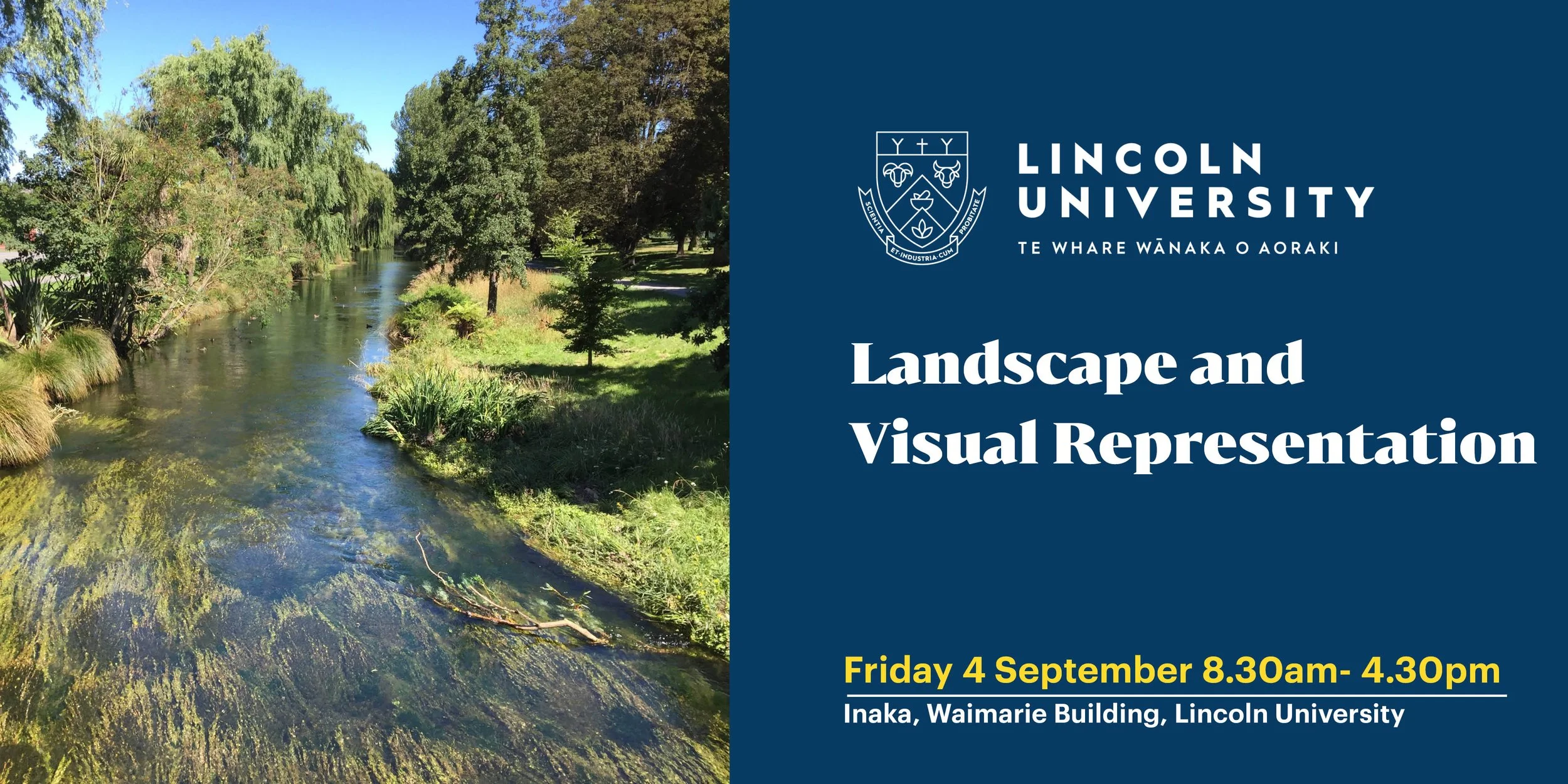
Friday 4 September
8.30am - 4.30pm
Inaka, Waimarie Building, Lincoln University
Programme
08:30 - Tea and Coffee on Arrival
09:00 - Karakia & Welcome
Gill Lawson, Lincoln University
09:10 - Rationale for Symposium
Rhys Girvan, Boffa Miskell
09:20 - Paper 1 Presentation
Visual representation and generative AI for concept development and consenting
Jillian Walliss, The University of Melbourne
9:35 - Q&A
09:50 - Paper 2 Presentation
Visual representation on printed paper and digital devices for working on-site
Hamish Clark, Trimble
10:05 - Q&A
10:20 - Morning Tea Break
10:35 - Paper 3 Presentation
Visual representations & bicultural ways of seeing for inclusiveness and reciprocity in community projects
Kris Tong, University of Canterbury
10:50 - Q&A
11:05 - Paper 4 Presentation
Visual representation in virtual worlds and digital twins for monitoring and evaluation by government agencies
Kelly Henderson, Wellington City Council
11:20 - Q&A
11:35 - Paper 5 Presentation
Visual representation for court proceedings
Brad Coombs and Alan England, Isthmus
11:50 - Q&A
12:05 - Lunch Break
13:00 - Workshop Introduction
Overview of Workshop Method and Objectives
Gill Lawson, Lincoln University
13:05 - Breakout Theme Briefings
Framing the Three Themes from Morning Papers
Corey, Boffa Miskell
13:10 - Breakout Session 1
Participants select one of three themed groups
14:10 - Afternoon Tea Break
14:25 - Breakout Session 2
Continued group development of key points related to each question
15:00 - Three Group Presentations
Each group shares their recommendations
15:30 - Closing Remarks & Karakia
Final comments from Facilitators
Gill Lawson & Rhys Girvan
Our Speakers

Assoc. Prof. Gillian Lawson
My research interests are in landscape pedagogy, landscape visualisation and landscape sociology in Australia, New Zealand and other Asia-Pacific countries, and on water and food as catalysts for improving the adaptation of our cities to climate change. My work has focused on the sociology of education, social practices in public/private open spaces, green infrastructure and waterfront communities in landscape planning and design. I have supervised a large cohort of PhD students to completion within these areas in Australia and Aotearoa New Zealand. My publications range from investigating the struggles of emerging landscape architects to the vulnerability of flood-prone communities in cities in an era of social and environmental change.
Rhys Girvan, Boffa Miskell
I have a wide range of experience in landscape planning, both within New Zealand and in the United Kingdom. My expertise includes broad-scale landscape characterisation and evaluation assessments, natural character assessments, assessments of landscape and visual effects for development proposals, site planning, and the formulation of measures to avoid, remedy or mitigate potential adverse effects.
Projects I have worked on cover the breadth of urban, rural and coastal landscapes. My role involves the preparation of landscape and townscape character assessments, coastal and freshwater natural character assessments, landscape and visual impact assessments, landscape capacity studies identifying opportunities and constraints to inform development opportunities, landscape management and rehabilitation plans, and landscape strategies to support successful development proposals.
I am experienced in collaborating with multi-disciplinary teams to deliver effective landscape outcomes. I take pride in maintaining strong relationships with my clients, colleagues and stakeholders.
Assoc. Prof. Jillian Walliss, The University of Melbourne
Associate Professor Jillian Walliss is interested in the relationship between theory, culture and contemporary design practice. She works across multiple platforms including digital media, exhibition and festival curation, guest editing of books and journals, along with writing for a wide range of academic and professional journals. Her research is characterised by strong links to design practice.
Hamish Clarke, Trimble
Hi, I’m Hamish Clarke, a Geospatial support representative at Trimble, specializing in Surveying and GIS solutions. Before joining the team at Trimble, I spent ten years in the field, first as a survey technician post earthquake, and then as a carpenter. This means I have a 360 degree understanding from setout to final sign off. I followed up on this practical experience working for the New Zealand Trimble reseller in sales and support. This has given me a uniquely practical perspective. I know what it is like to use surveying and GIS tools in the real world. A connected workflow is the key to unlocking the value in your data. My goal is to bridge the gap between technology and the practical, real-world needs of the professionals who use it every day. When I’m not diving into geospatial data, you’ll likely find me on the side of a fencing strip. I was previously a competitive athlete, and am now an administrator in the sport. I find that the focus I used in a match is just what’s needed to solve a tough technical challenge.
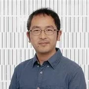
Kris Tong, University of Canterbury
Dr. Kris Tong is a researcher and immersive storytelling specialist at the Human Interface Technology Lab New Zealand (HIT Lab NZ), University of Canterbury. His work focuses on the intersection of emerging technologies and cultural heritage, exploring how tools like virtual reality can capture and present indigenous narratives connected to people and place. Drawing on his experience co-creating the Digital Marae alongside Māori communities in Bluff, Kris is passionate about bridging the gap between digital practitioners and the built environment to craft socially meaningful, interactive stories.
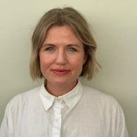
Kelly Henderson, Wellington City Council
I work at the intersection of infrastructure strategy and delivery, helping translate murky problems into real-world outcomes. With over a decade of experience across local government, consultancy, and architecture, I’ve led projects spanning housing, transport, public-space, and emerging technology. My background in architecture and construction means I can lead on-site or in boardrooms, bringing systems thinking and delivery discipline. At Wellington City Council, I lead our Digital Innovation team, delivering tools and frameworks that support business case development, asset investment planning, and project assurance. From digital twins to AI pilots and open data platforms, we bring together design, data and delivery to align with strategic objectives. I’m particularly motivated by work that connects strategy and execution, whether that’s reshaping procurement, improving investment outcomes, or making sure $100M+ projects get delivered without losing sight of place or people. Always keen to connect with others delivering better infrastructure, housing, and systems for cities.
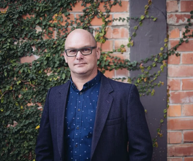
Brad Coombs Isthmus
Brad is a Principal landscape architect at Isthmus and he works in the complex world of problem solving under the RMA. He thrives on navigating a path through the RMA process and loves the practicality of seeing his projects implemented and delivering maximum benefit to his clients.
Brad has worked on some of the most exciting and challenging residential, infrastructure and coastal projects in Aotearoa, always delivered through a considered and tailored response to the specific project and the land. Brad has worked on geothermal, hydro, solar and wind power stations, national and local electricity lines, coastal protection and access structures, new coastal roads, cycleways and walkways, new neighbourhoods and several urban expansion projects, all of which rely on the use and evaluation of visual simulation and representation tools to assist with their design and assessment.
Brad has considerable experience as an expert witness to Council, Environment Court and Board of Inquiry hearings and as an RMA decision maker. Brad is a Registered Fellow and a past President of the New Zealand Institute of Landscape Architects Tuia Pito Ora (NZILA TPO).
On the weekends Brad can be found discovering remote areas of the land and the sea on his bike or in his boat, often with his young family in tow.

Alan England Isthmus
Alan has broad experience within the GIS, simulation, and 3D visualisation industries. Alan leads the geovisualisation team at Isthmus which integrates into all aspects of the Isthmus services. Combining GIS expertise with an extensive background in 3D simulation, Alan produces compelling mapping and graphics to explain complex scenarios, and inform evidence based decisions to a wide range of audiences. His roles have varied from GIS mapping and analysis, 3D modelling, photo-realistic rendering, animations and design through to preparation of proposals, quotations and team management. He has worked with a diverse range of clients including central and local government organisations, developers, lawyers and planners.
Click here to see more events